|
At North Las Vegas Airport - Saturday, September 30, 2017
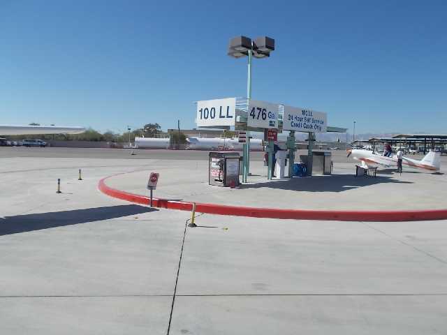
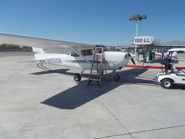
Saturday, September 30, 2017 - North Las Vegas Airport Fueling Island
Saturday, September 30, 2017 - Fueling the Cesnna 172 - 12 1/2 gallons in each wing tank.
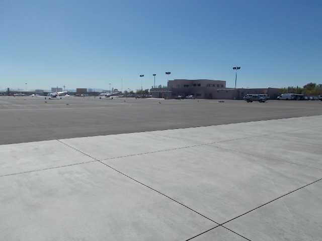
North Las Vegas Airport (VGT) Terminal Building and Ramp.
VGT Ramp southerly view, can see the Stratosphere Tower.
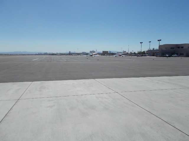
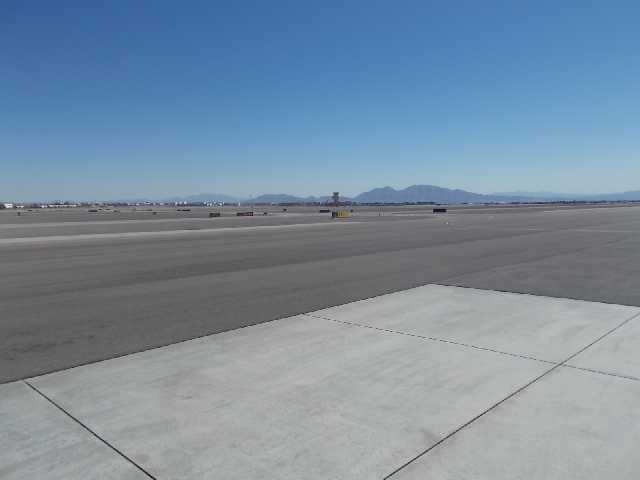
VGT eastnortheast view looking towards the taxiways and runways.
Saturday, September 30, 2017 - After taking off from North Las Vegas (VGT) on Runway 12R, with clearance to climb to 5.500 feet on a heading of 330 degrees, it takes you directly over the center of Nellis Airforce Base. North Vegas Tower then hands you off to Nellis Departure Control, As you approach the center of Nellis Airforce base, the Las Vegas Motor Speedway is very close below - - out the left window. Some race qualifications were taking place. As you approach the Lake Mead area, you are leaving Nellis' airspace jurisdiction and can descend. This time I decided to fly directly over Lake Mead and approach Hoover Dam from the north, It's standard practice among the pilots to circle the dam clockwise.
Over Lake Mead - Flying to the north side of Hoover Dam
Just left Nellis Airforce Base Departure Control and Class B Airspace - Flying around the Dam at an altitude of 4,500 feet.
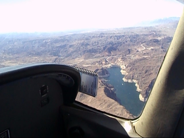
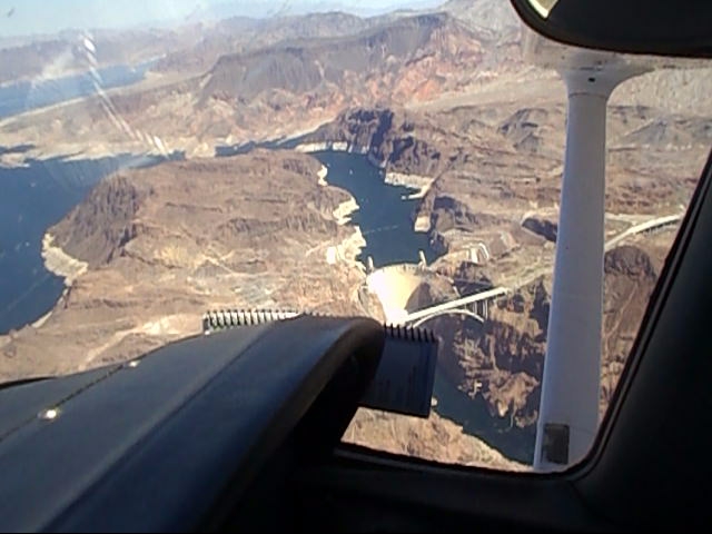
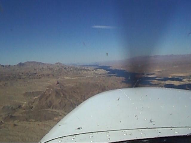
Approaching Hoover Dam from the north or Lake Mead side. Comparing the water lines in the rock, it appears the Lake Mead levels were higher than my last 3 oveflights, probably due to the more than average mountain snow melt this year.
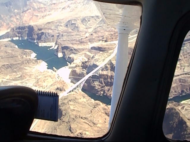
Circling Hoover Dam clockwise at 4,500 feet
Circling Hoover Dam clockwise at 4,500 feet, before heading south down the river.
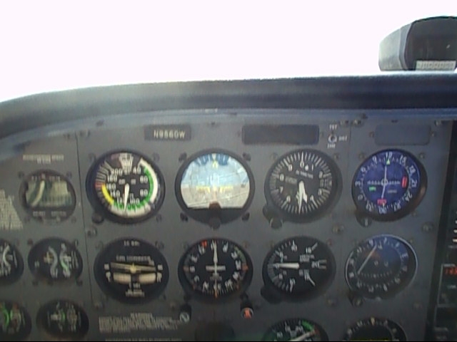
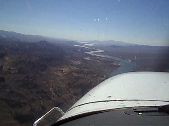
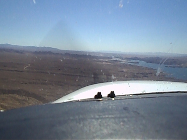
Saturday, September 30, 2017 - Flying south down the Colorado River to Laughlin/Bullhead Airport. The winds were quite turbulent with up and down drafts going down Colorado River Valley. It took quite a bit of work maintaining a constant altitude, however there were a couple of stretches for a mile or two where the air was calm enough you could hold an altitude with hands off the elevator. The Colorado River Valley is known for its tricky windy conditions.
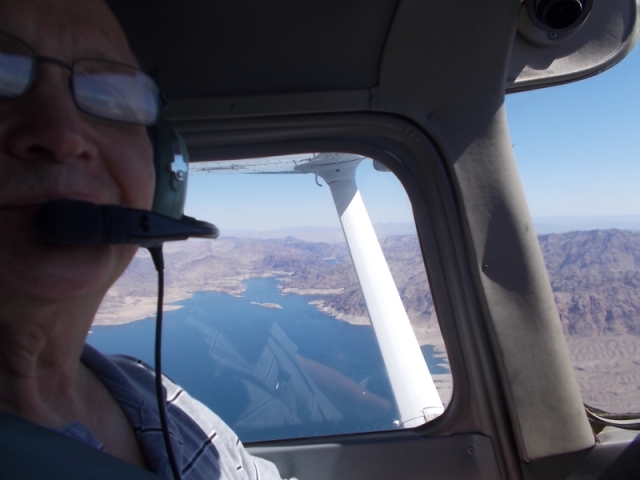
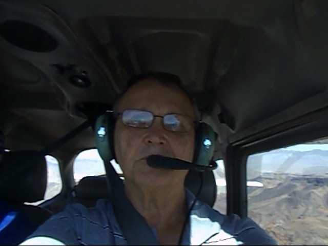
Saturday, September 30, 2017 - Selfie while flying down the Colorado River.
On a 3 Mile Final Approach to Runway 16 Bullhead International Airport. Winds were from 220° at 18-20 knots, gusts to 24. It was very close to the maximum cross-wind component for the C-172, it took
pretty close to the full right aileron and left rudder to align the longitudinal axis down the Runway 16 centerline on landing.
Riverside Casino over my right shoulder, looking west from the Bullhead Airport Ramp.
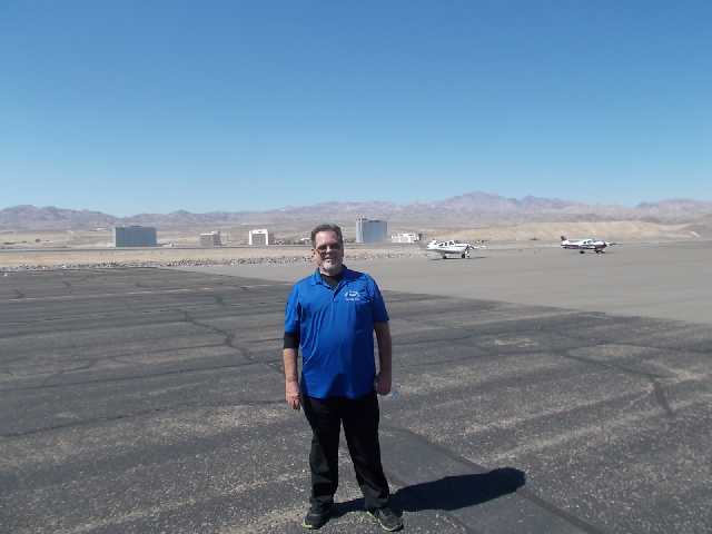
West Air CFI Dennis Murray
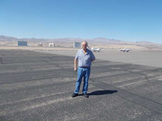
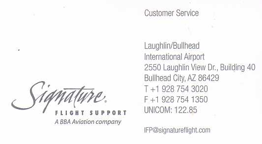
Another westerly view from the Bullhead Airport Ramp outside the Signature Aviation FBO Building.
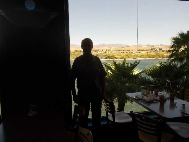
Riverside Casino Buffet - Nice view of the river activities - The bright outside ambient light auto-adjusted a narrow aperture for my camera and made a silhouette of me. Being a temperature of 100 degrees, there were many boats and jet skis on the Colorado River, especially by Laughlin.
Friendly-Helpful Staff at Signature Aviation - She advised about the Riverside courtesy shuttle only taking 10 minutes to arrive and called the Riverside Casino Valet desk
for a Shuttle Van ride across the river. It probably arrived in less than 10 minutes. Quite a few changes in Laughlin, since my last trip there and on the Bullhead side of the river, with all the typical commercial chain fast-food establishments. After the buffet, the Riverside Valet called for the shuttle van for the ride back to the Airport.
The Signature line person provided a golf cart ride back to the airplane on the ramp. It was a very enjoyable, pleasant and positive experience.
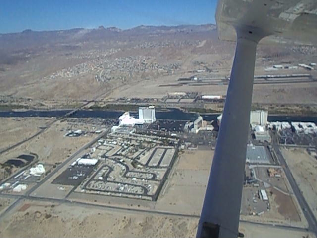
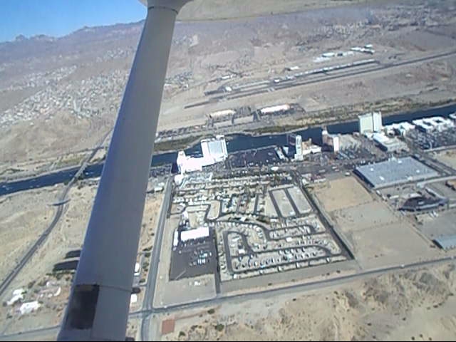
Easterly View of Laughlin and the Riverside Casino where a buffet lunch had just been consumed.
Easterly View of Laughlin and Bullhead City International after a Runway 16 take-off and right climb-out back north.
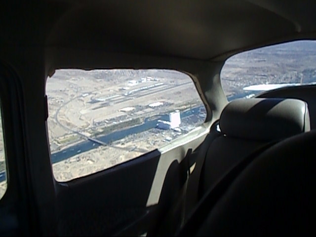
Looking North up the Colorado River for a few miles, before westerly course to Searchlight and then north.
Look back out the rear window for one last look at Laughlin and Bullhead City International Airport.
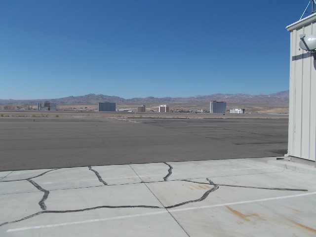
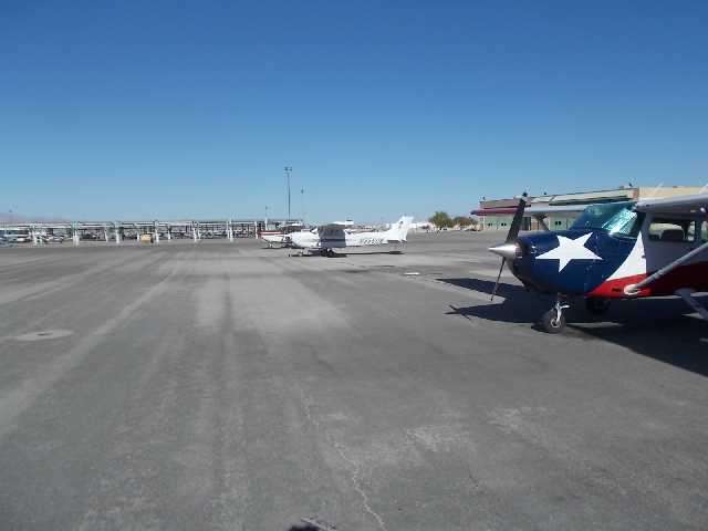
View of the West Air Ramp from the office door perspective after the flight
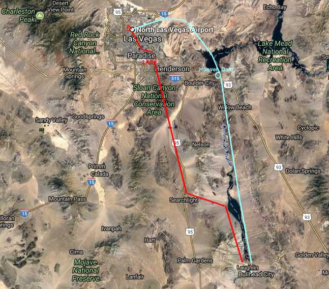
Flight Routes - VGT to IFP and back. Color Cyan to Laughlin. Color Red Return to North Las Vegas.
Google Maps Driving Directions from North Las Vegas to Laughlin. Back To Vegas Last Back To Vegas Itinerary Menu Next To Vegas 3
|