|
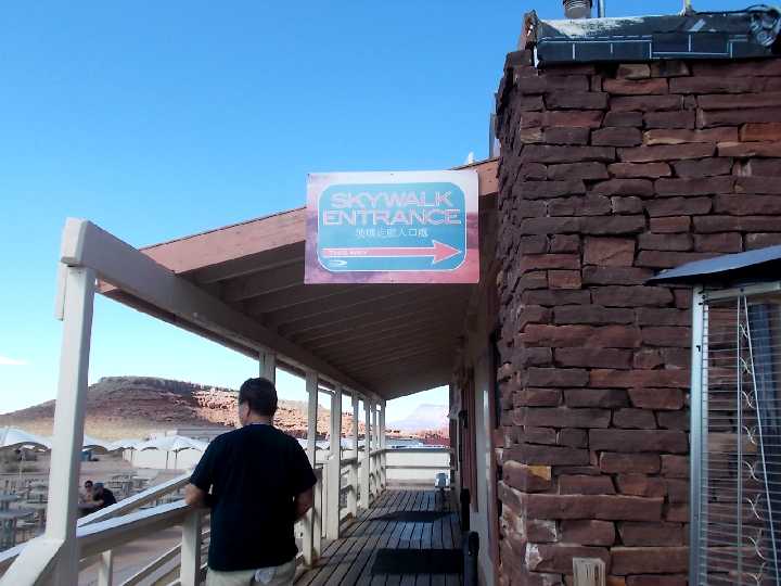
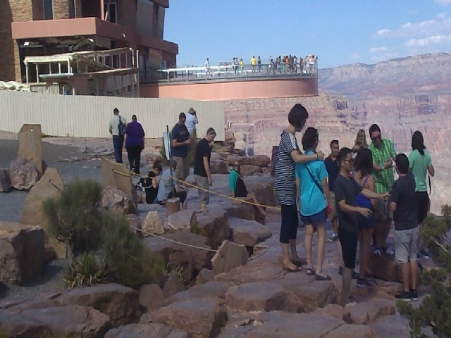
Entering the Skywalk Central to surrender the camera and cell phone to a locker.
No Personal effects, including cell phones, backpacks & cameras are allowed on the Skywalk.
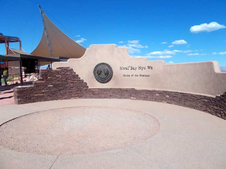
Hualapai Indian
Tribe's Seal
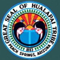
Seal commemorates the Great Spirit created Man and Woman in his own image.
In doing so, both were created as equals.
Hualapai American Indian Reservation was created in 1883,
It has nearly 1,000,000 acres
which includes 108 miles of the Colorado River and Grand Canyon.
Note the seal is encircled
by tall pine trees, representing the tribe's name of Hualapai – PEOPLE OF THE TALL PINES
Hualapai
Tribe's Website
Hualapai
Tribe's Tourism Website
Hualapai is pronounced Wa-La-Pie
translated as "People of the Tall Pines"
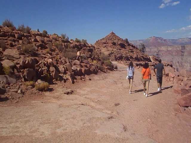
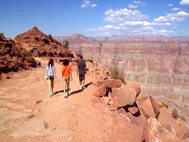
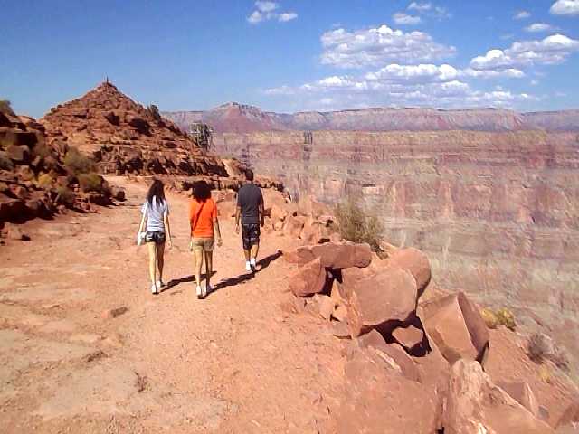
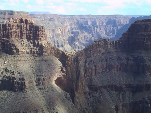
Looking
northward towards Guano Point where a cable car use to travel across the
Colorado River
They use to mine Guano (bat droppings) for fertilizer.
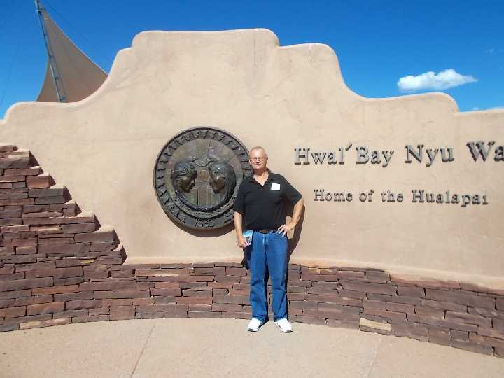
Posing with the
Home of the Hualpai Indian Tribe's Seal Commemorative Plaque
1883 Hal' Bay Nyu WA
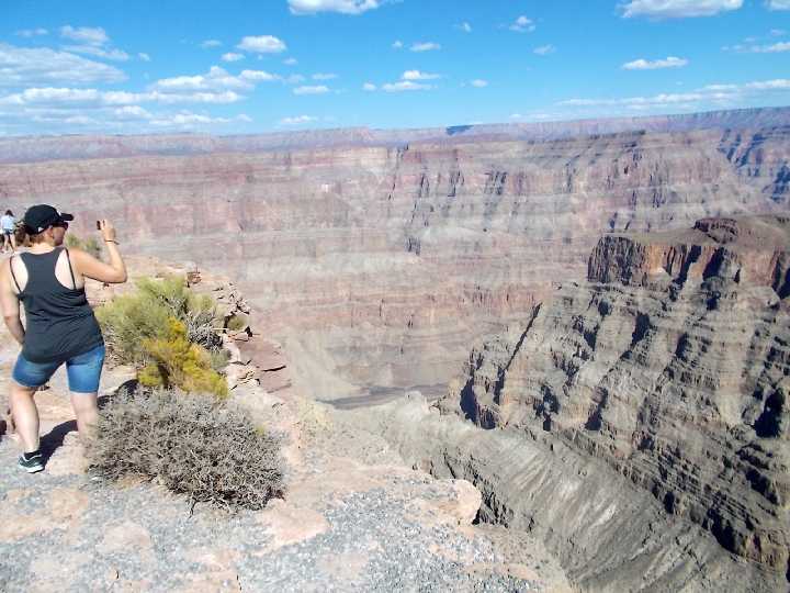
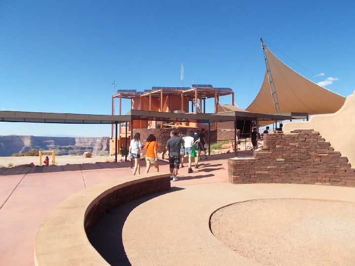
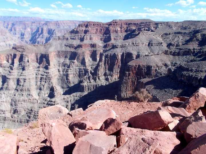
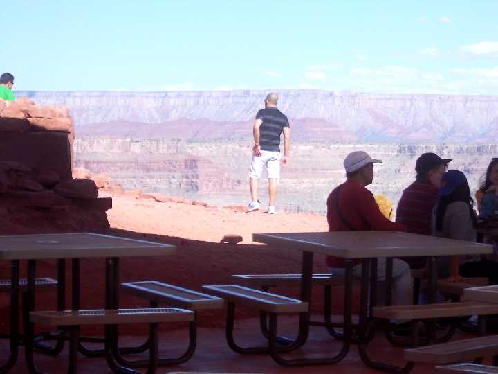
View of the
West Grand Canyon
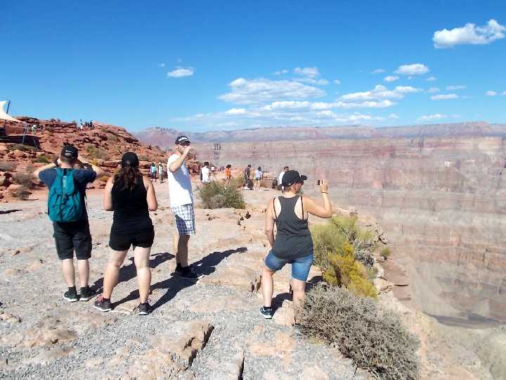
Another
look at all that rock
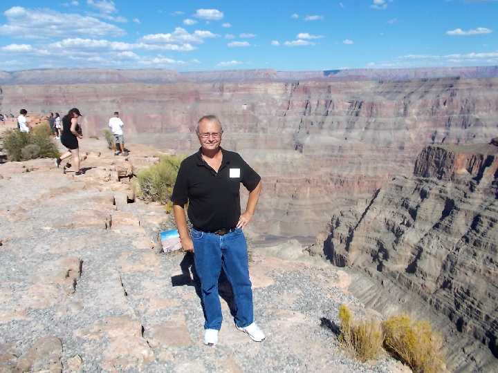
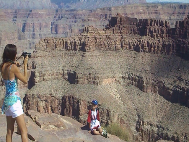
Posing for
another Grand Canyon picture while holding my $15 Gift Shop Photo, taken while on the
Skywalk.
Hualapai professional photographers will take a 5 picture series of
poses of you, or your group, then give you a claim number
stub, to enable your
review in the Gift Shop, if you should be interested
in purchasing one of the various offered photo packages.
This is done through a
Wi-Fi Wireless camera image downloading
system.
Some
estimate it took around 17 million years to make all these rocks and erosions..
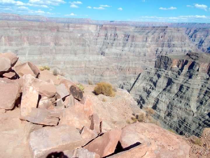
Various
types and colors of rocks around here, could use a geologist explanation for a
lot of these.
There appears to be quite the variety of Sandstone, Limestone,
Granites, Ash, Lava etc.
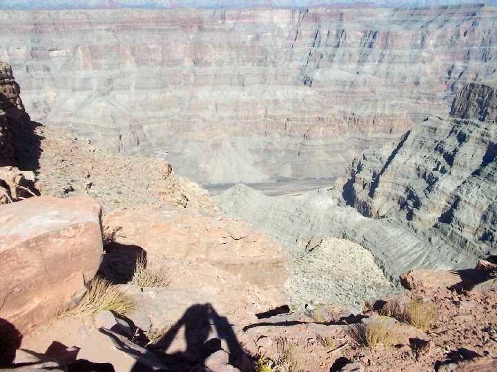
A few
canyon wall openings provide a safe look down at the Colorado River.
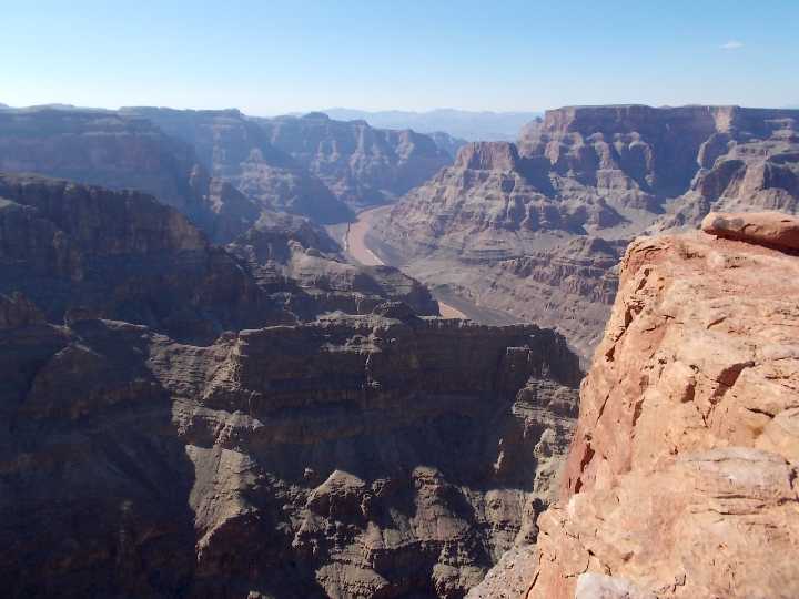
First of
many views south, around Guano Point.
Guano Point
Viewing area
On top of Guano Point. I have video clips of the Guano Point
area.
In the 1930s, the Bat Cave workers dug up and bagged guano (Bat Droppings)
Bags were
loaded onto the Colorado River ferry barges.
Guano was especially known as good
fertilizer for roses.
In this
picture you can see where the steel cable carried a gondola across the 7,500 feet of the canyon,
or
2,500 feet above the river line, That was the high tech method of the 1950's.
They
eventually ran out of Guano and the mine closed, but the cable remained across the
river until.......
1961 when an aircraft from Nellis Air Force Base struck the cable,
severing it.
The plane RTB'd (Returned to Base). The local
residents fought with the NPS (National Park Service),
over the status of the dangling cables. The Feds wanted them removed.
A little
closer view to the cable car location of Guano Point.
This is also the
area where you can walk down to the canyon if you have the time and stamina.
On top of Guano Point. I have video clips of the Guano Point
area.
I'll have to get around to extracting more still images from my video
clips one of these days.
Looking
northward towards the former cable car area at Guano Point. There were
large old "Bat Caves".
Guano is Spanish for "Bat
Droppings", actually means any droppings from seabirds or bats. This accumulated
Guano (bird/bat excrement) is very valuable as a horticulture fertilizer which contains about 11 to 16 percent nitrogen,
8 to 12 percent phosphoric acid, and 2 to 3 percent potash.
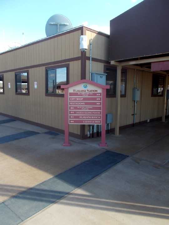
Tourist
Attraction Direction Informational Sign.
 > >
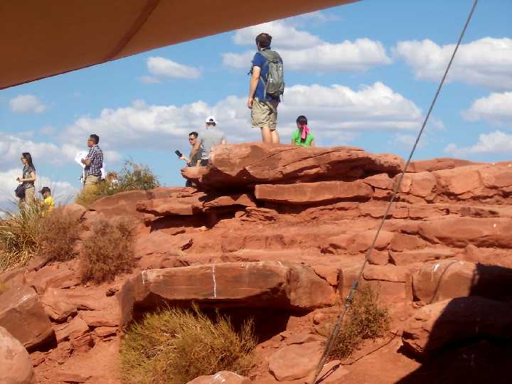
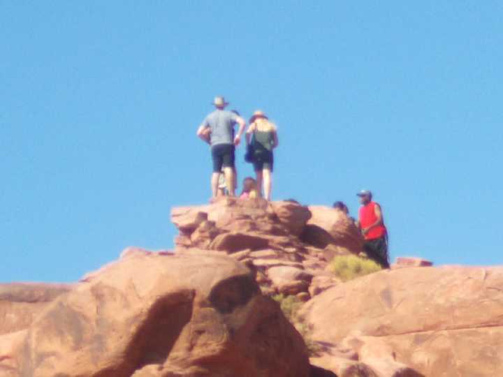
Life on
the rocks just south of the Skywalk.
EAGLE ROCK
Can you
make out the Eagle in the rock with its wings spread out?
That's why they call this place "Eagle Point"
This image was also extracted from a panoramic video clip I had taken.
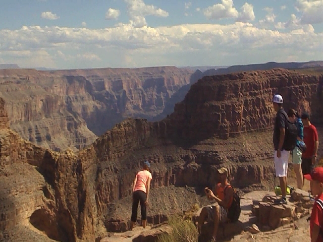
The lady
in pink/orange shirt would be history if a wind gust would come along.
I don't think she needed to get that close to edge to see that Eagle.
The other people
at least had enough sense to stay back a foot or two.
Would you
risk seating your child on the edge of a 4000 foot drop off just to take this picture?
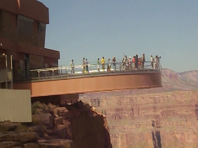
Another
still photo extracted from a video clip looking northward at the Skywalk
Back To Vegas 4
Back
To Vegas Itinerary Menu
Next To Vegas 6
Home
Page Trips
Page
|